Email 15th January 2014. from the Planning Manager.
This drawing is stamped ‘Approved by Tyne and Wear Development Corporation date 8/7/96 22/8/96’
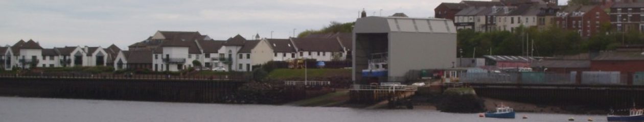
A second drawing was received by TWDC on 4th June 1996 from the developer’s agent. That is numbered 8296/2. This shows longitudinal and transverse sections through the site to illustrate the relationship between the proposed building and the gradient of the site, the riverside revetment and existing buildings on the site.
Using either the fact that the gradient is 2.565m or the length of shelter is 22m long one can work out the height of the ends.
The road end is 13m and the river end, 16m. This is further substantiation of the planned height of the shelter is 12.5/15.5m and not 15.5/18.5m.
A few of things about two the drawings submitted to Planning on 6th Sept.
The drawing of the elevations through the site was truncated and bore no number and it was not authenticated. The truncation also meant it had no dimensions from which one could deduce the size of the shelter. Subsequently, after the Planning Manager supplied the full authenticated copy of 8296/2 one could use the information from both 8296/1A and 2 to deduce that planned height of the road end was 12.5m rather than the 15.5m as claimed by UK Docks and STC Planning.