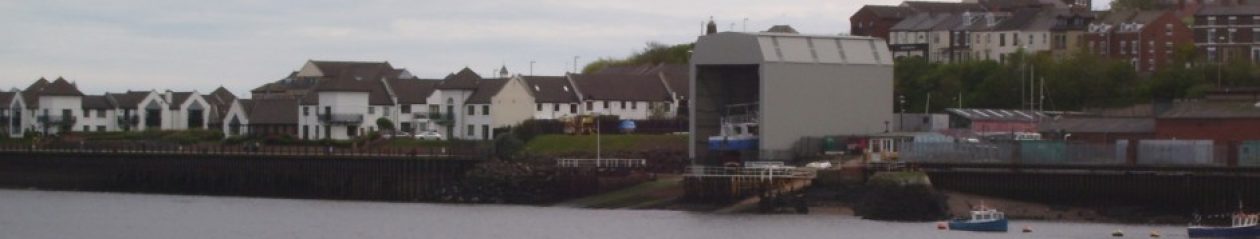
I have acquired a series of maps from the Ordnance Survey which detail the use of the land going back over a century together with an overlay trace showing the modern detail and allowing us to see how the riverside has developed over the years.
I’m guessing these will be of general interest to all as well as potentially helping us challenge the Councils contentions that the site has been designated as ‘industrial’’. For example I think I’m able to prove that Velva Liquids occupied a site co-extensive with the Harbour View development and formed no part of the present Tyne slipway, contrary to those contentions.