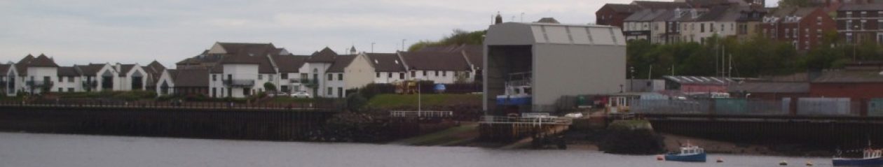
That shows the overall height of the structure as 15.5m above the foundation level at the landward end. At the riverside end the foundations are shown as 2.656m lower due to the gradient of the slipway. The structure would therefore be that much higher at the riverside end.
He omits the fact that drawing 8296/1A shows quite clearly that the height of the river end is also 15.5m. Both ends cannot be 15.5m high if the roof top is level and there is a gradient of 2.656m. Careful examination of 8296/1A shows that the river end being 15.5m high is a more likely explanation than the Planning Manager’s of the road being that high.
The Planning Manager has been disingenuous in his explanation and it does not stand up under investigation. Variations of this have been repeated, principally by the Head of Development Services and he uses it as the reason to take no action, he maintains there is no material difference in height, against UK Docks for not building the shelter to plan. It also appears under various guises in correspondence over the next 15 months: