Following a search of our archived file the only drawings that we have that are stamped ‘Approved by Tyne and Wear Development Corporation’ are 8296/2 and 8296/4.
These have been available to view since Sept 11th 2013. Although the staff at the town hall have allowed inspection of the discs it is very difficult and copies have not been allowed, see disc viewing by Paul, Nov 2013. These are the first issued to anyone outside of planning.
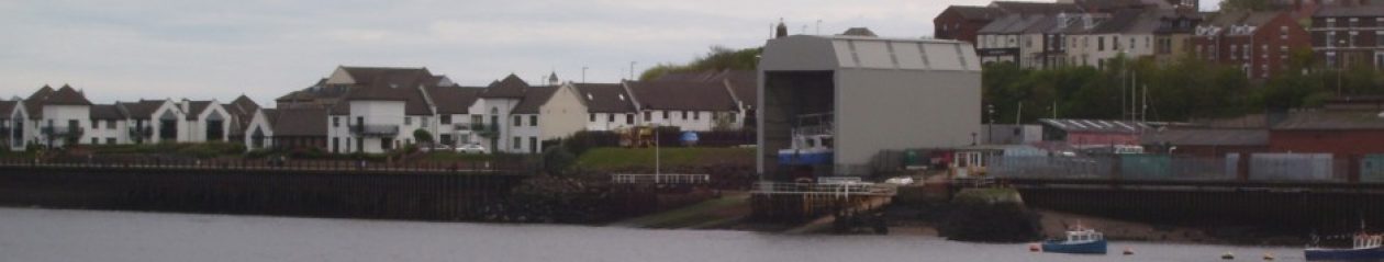
8296/2 is a scale drawing and tends to support the argument that the shelter is 3m too high. Using the gradient (2.656m drop along the length) the road end and river end work out to be 13m and 16m respectively. Review III.
8296/4 is an illustration of the translucent panels and is not to scale.