Note that the overall width of the plan is 12,200 or 12.2m.
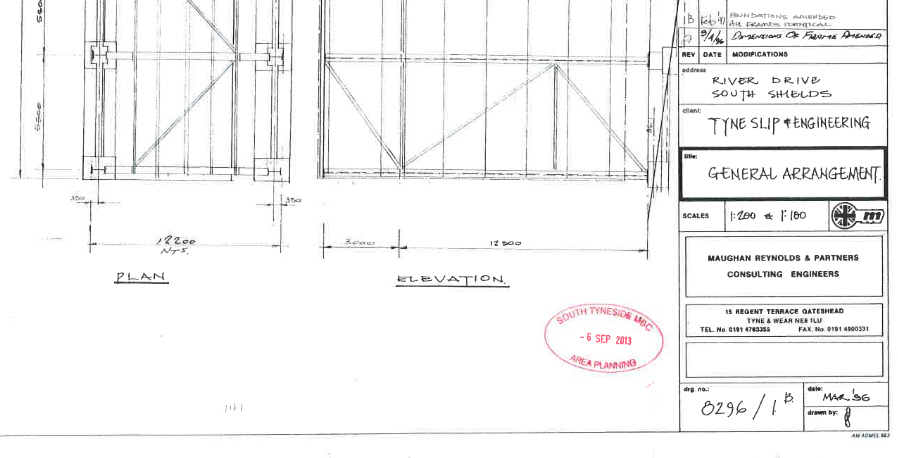
Elevation: the centre of the dimension is about where the 1 of the 12500 is, and the 3000 finishes about half way to that or a quarter and 3 is a quarter of twelve, not fifteen. The 3m should therefore be included in the 12.5m and not added to it . The road elevation is about 12.5m or more correctly 12.8m (15.5m* less the gradient of 2.7m) and will be to the end of time, regardless of what South Tyneside Council tell the Ombudsman. Note that this drawing is an amendment to 1A made in Feb 1997. It is the drawing that was presented to the Ombudsman by the Council. I presented 8296/14 which includes a scale drawing (1:100) of the river gable end which is 16m tall.
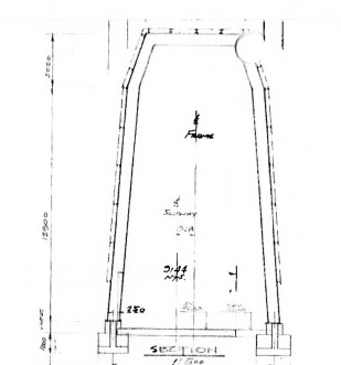
* the dimension at the river end of the shed is 12.5m + 3m – centre top below: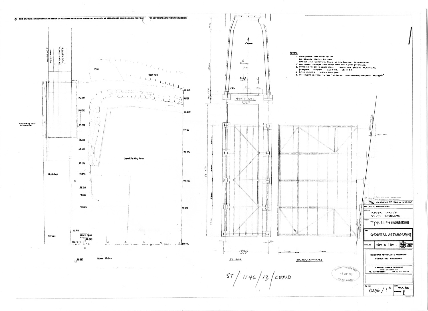
MD 8 -Nov-18