Figure 2: Site Location 220715 was taken from a street plan which includes most of South Shields and it has remained unchanged, as has Figure 3: Location Plan 2 Figure 3.
Figure 3: Location Plan 2 Figure 3 220715
It looks like the first person tasked with doctoring the plans for the redevelopment of the Beacon was assigned to someone with a wry sense of humour and if one looks carefully at Figure 1: you will see that he or she has not corruptly altered the overall dimensions of the ground floor. He or she has also introduced a complete red herring and introduced a site location from a map drawn many years before the Beacon was even built.
To put it another way, Site Location Plan been edited to show the curtilage, had overnight, been extended over the pavement to make it line up with the fence in front of Nos 95 to 99 Greens Place. The red box had been altered to include the “Blocked Paved Frontage with Glass Block Light Wells.
It was the second person who came up with Figure 4 who has altered the curtilage of the ground floor of the Beacon and that has fraudulent misrepresentation or corruption written all over it.
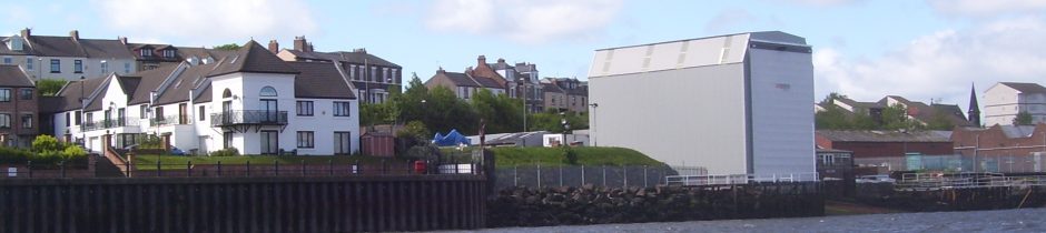
Figure 4: Site Location Plan 220715 6-Dec-22
By the time I got round to publishing this misinformation on the 6th December someone had picked up the fact, presumably from the cookies left behind while Mr X was checking the facts for the blog was to be posted on the 6th they altered the Site Location Plan yet again. The original plans presented to the Committee on the on February 1st 2016 were, as I said, represented by second sketch on page one. There were no red outlines in those days.
The second sketch, page 1, took some finding as I has misfiled it/misnamed it and there are a great many files on my laptop but it was worth the effort for the searchif only to illustrate how far corruption is endemic in South Tyneside Council.
The first of the four extracts, was taken from ST074615FUL Site Location Plan Figure 2, on the 4th December 2022, which covers an area stretching from the former Turks Head to the Water Crafts Centre by the SSSC. The second was taken, again taken on the 4th December from a street plan which covered an even bigger area stretching from the Metro line in North Shields to the Market Place and South Marine Park in the South and the third, again on the 4th December, from a map of 1827, which shows the top end of Greens Place leading to the Lawe was not much than a footpath at that time.
It illustrates the corruption practiced by the Principal Planning Officer and his Manager in 2013 had spread over the years to include their Manager, the Chief Executive who retired in 2020, those who gave away parts of the English Coastal Path to the developers of apartments over looking the Tyne under Mr Swales command and whoever recently edited the site location plan for the Beacon.
The current Chief Executive was appointed in May 2021 and advised of what went on under his predecessor’s command but prefers to sit behind the wall of silence set up by the Council’s Corporate Lead in 2016 and rebuilt the month before at the command of whoever was in control of South Tyneside Council at that time.
The case is still out for Northumberland County Council but it appears the Ambler still needs some answers from them. When barriers across the English Coastal Path in Amble were first put up I had assumed that developer of the four blocks of flats overlooking the marina had wished for private access to the Coquet but have since realised that it will be the owner of Radcliffes Lodge who will benefit most from private access to the river.
One does not have to dig very deeply to find that Mario Minchella Architects are also the agents behind the owners of the riverside flats in South Shields obtaining private access to the River Tyne.
M Dawson, 9th December 2022
When Messrs Simmonette and Mansbridge gave the footpath running along the river front, South from the Sea Cadets, to the developer of Utility Wise, they relied on an architect to provide misleading drawings, a fraudulent misrepresentation in legal speak, and this was not the first time it was practiced.
The first time I became aware of the practice some years earlier and concerned my neighbour, and in that case they relied his architect Dr J Martin to provide a misrepresentative drawing, They were Planning Officer Ms C Matten and the Planning Manager Mr G Atkinson.
The second time was when the local residents were provided with drawings, to falsely claimed that, UK Docks had permission for their shed by the Principal Planning Officer, Mr P Cunningham when they had not.
The approved drawings indicated that it should have had a built height at its river end of 15.5m but it had been built to a height of 18m.
His use of PROTECT was a give away that he was repeating a lie.
With the Beacon on Greens Place they were not able to persuade the agent, GC Architectural Services, to redraw the plans to include the immediate frontage so they had amend the plans, to place the light-wells by taking up some of the Public Right of Way, In-House. Please see page 2.
Re: the gift of part of the English Coastal Path to a developer was mentioned at the foot of Page 1 but may have been better to put the blame exactly where it lay, with the Planning Officer Mr G Simmonette.
It did however, require the agent, Mario Minchella Ltd to redraw the boundary of the site to include small dry dock and the public foot path running in front of 14-32 Long Row and the approval of the Head of Development Services, Mr G Mansbridge. Numbers 30-32 are the former Garlands Call centre and properties to the North of it.